Mt Umunhum to Bay
June 11, 202132.5 miles
7 hours, 4 minutes, 12 seconds
San Jose, California
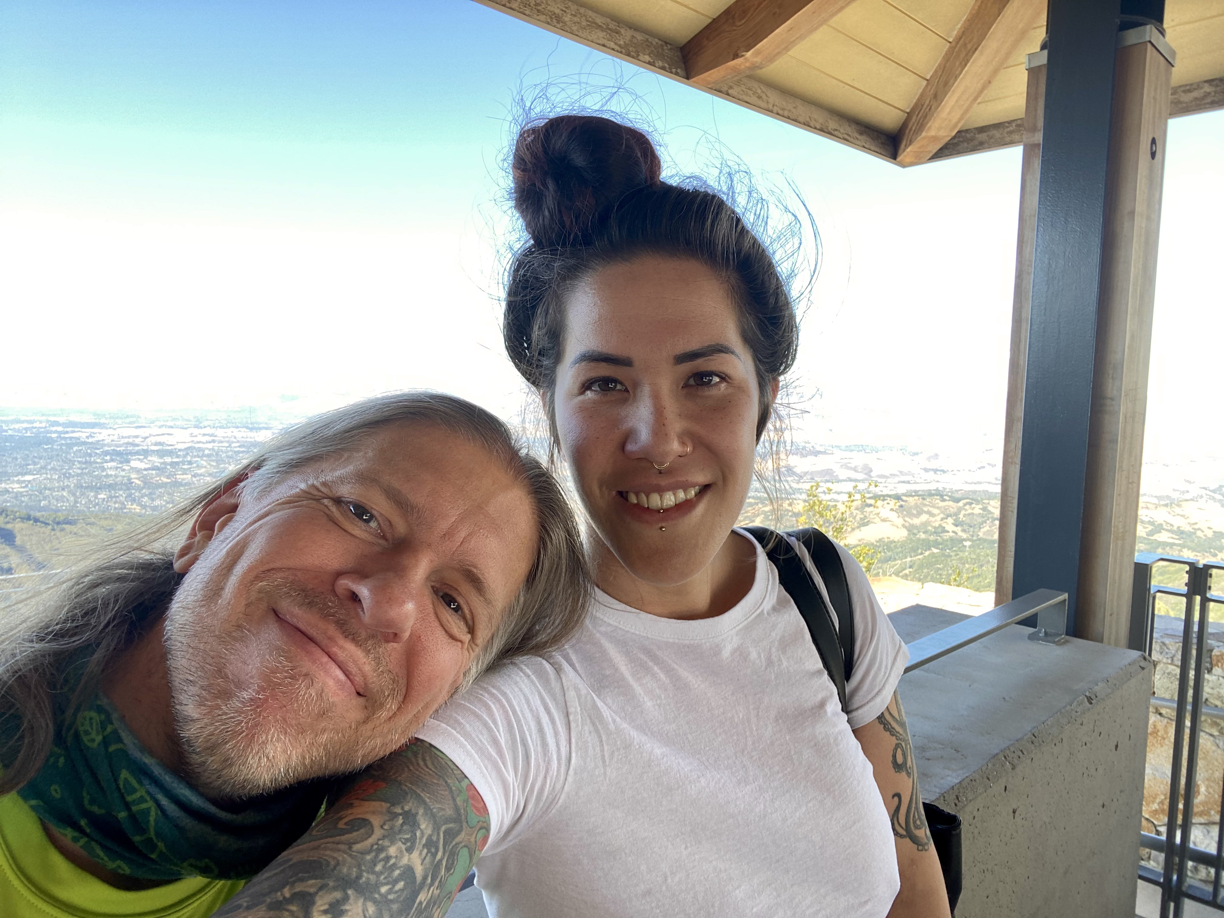
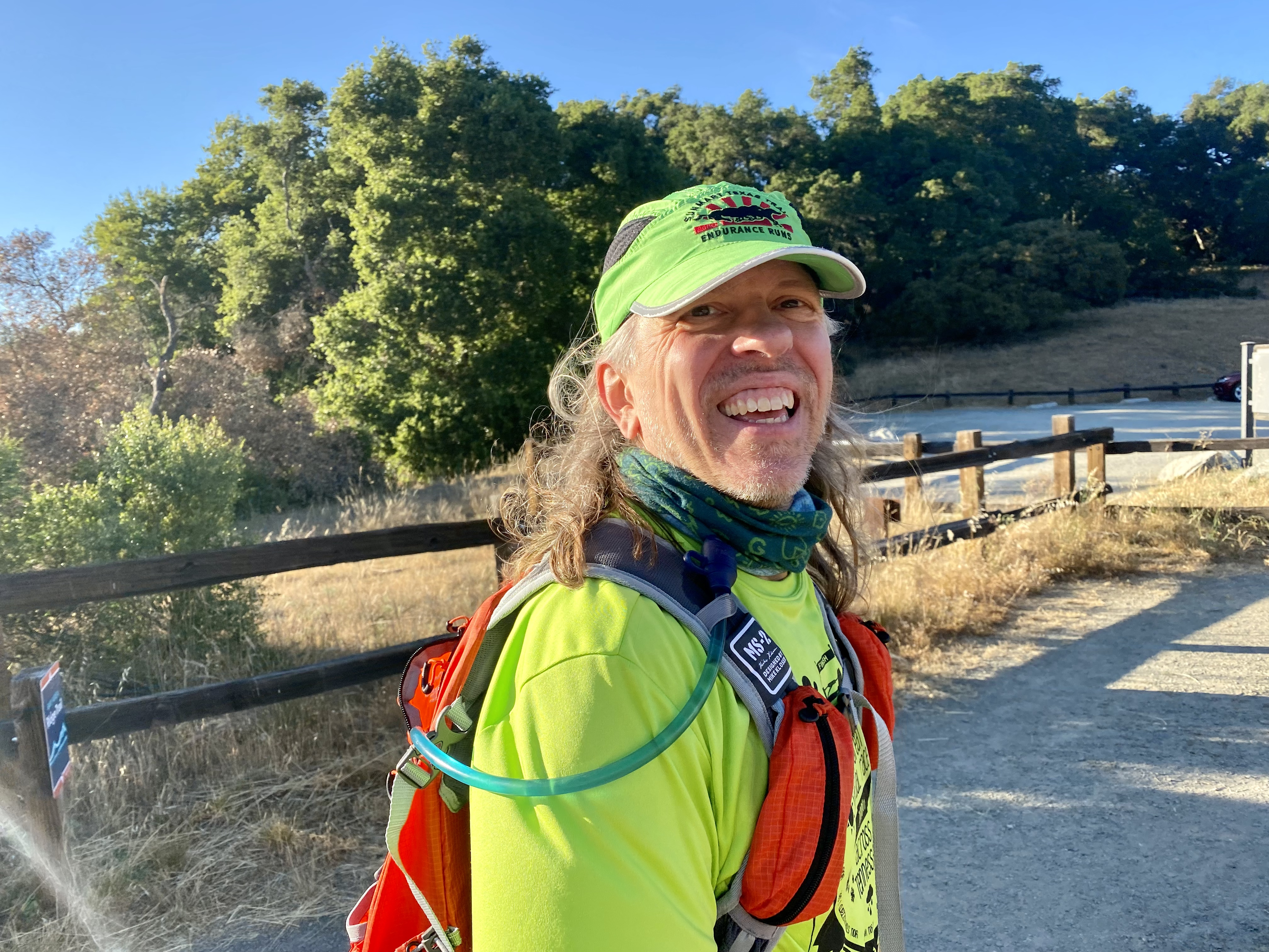
Overview:This "Fastest Known Time" route starts at the top of Mount Umunhum, one of the highest peaks in the Santa Cruz mountain range. The route is all trails for the first half as it descends down the mountain range. Then it switches to pavement across the city of San Jose to until it reaches the Bay.I ran the event unsupported, carrying everything I needed in my 100oz backpack, and did not resupply during the run. Links:Race Report (with pictures and videos)I decided to start this FKT attempt just before 5:30pm on Friday. This would give me sunlight for the first half of the journey on the mountain trails, to help me see where I was going so I hopefully wouldn't trip and fall during the descent.For my previous FKT's I tended to start at ridiculous times like two in the morning, so that I could do most of the running in the cooler night weather. But I figured the heat wouldn't matter too much this time since I was starting off downhill. And my wife Jane appreciated not having to wake up at a silly time for one of my adventures, for once. We drove to the top of Mount Umunhum, and enjoyed the views and took a couple pictures before the start.
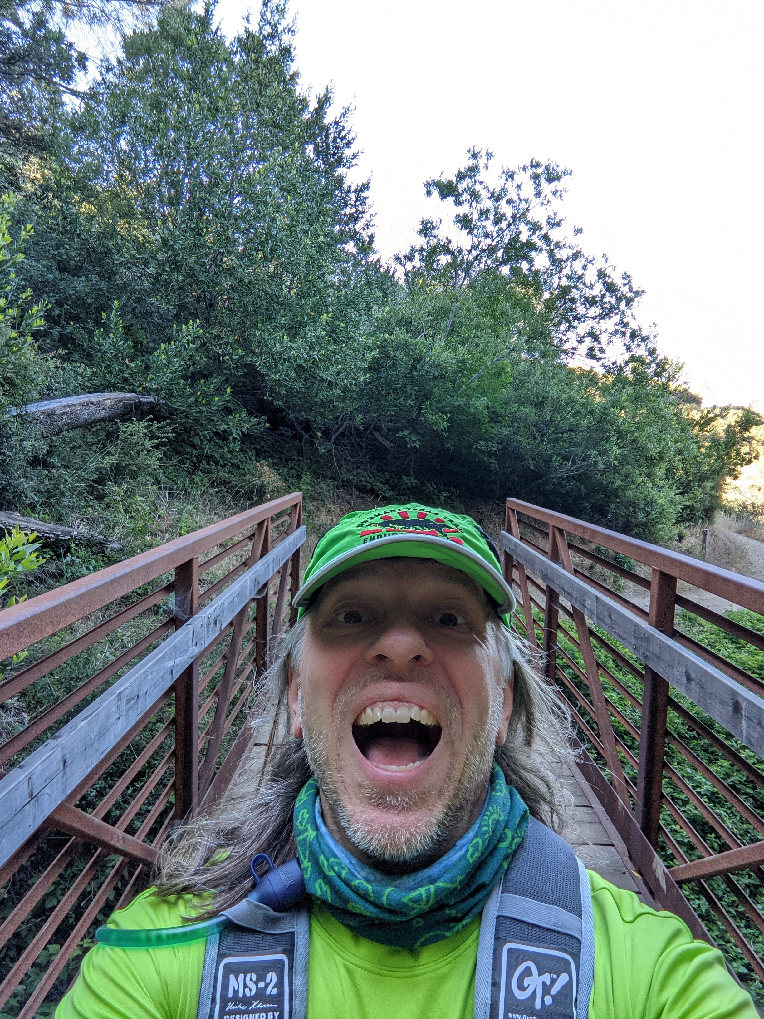
There was some ongoing construction on the buildings at the summit. The last little stretch of road to the top was closed off to car traffic with a gate. However, the road was still open to pedestrians... at least it was after 5pm, when we were there, as the construction was done for the day. So, I wouldn't have to deviate from the official FKT route any (I thought I might have to use the pedestrian access stairs instead of the road, which would have only been slightly longer, had the construction still been going on in earnest). Anyways... time to start! Jane got into position to take a fun little video of it: 5:27pm, starting the run from the summit and heading downhill. After the brief paved road section at the start, I turned onto the mountain trails. And Jane drove the car around to meet me at a point halfway down a mountain. The trails near the summit have lots of trees to provide shade for the sun. And the trails near the top aren't steep at all, making for very pleasant running. I wasn't bothering to try and run particularly fast, I was just taking it easy and trying to not wear out my legs on the long downhills. Since nobody had done this FKT route variation before, all I would have to do was finish and I'd win the FKT (until somebody faster comes along to take it away from me!). There's a couple of bridges across some drainages on Mount Umunhum trail. For some reason, I'm always inspired to take pictures when on pedestrian bridges:
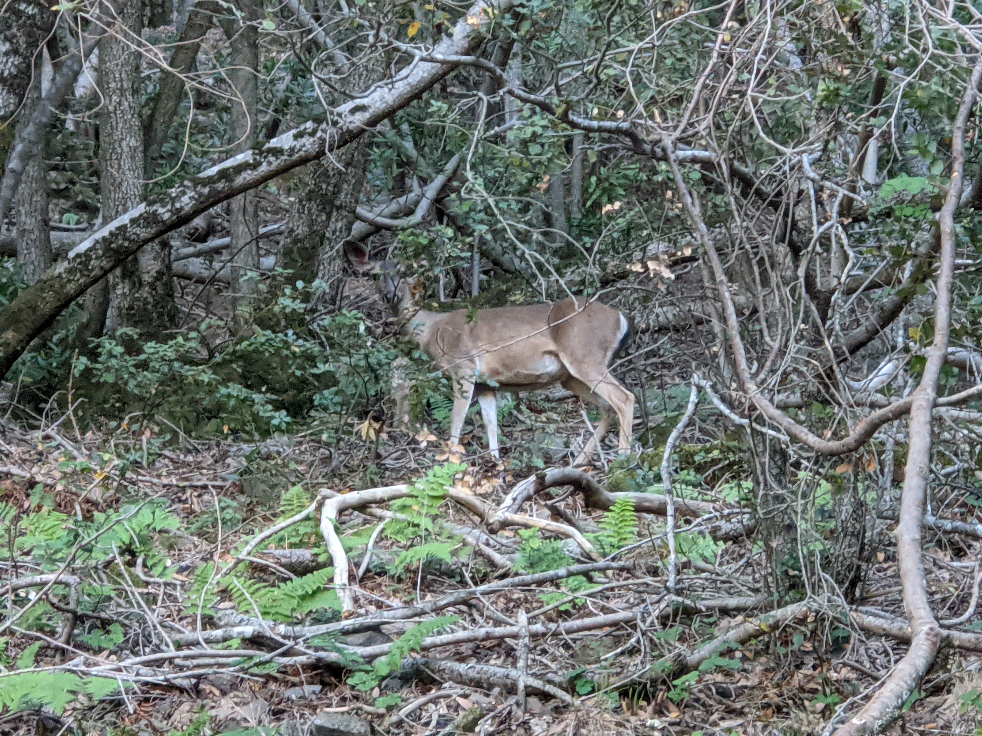
After turning onto Barlow Road/Trail things get a little steeper, and the trail goes both up and down as it makes its way sideways along the mountain. I was happy to walk all the uphills and save my energy for later. I didn't see any other people while on this section of trail. The lack of humans in this area meant that the wildlife was braver, and I spotted a deer on the trail ahead of me. I wasn't quite quick enough to get a picture of it before it ran off the trail, but fortunately it was nice enough to stop in the woods and look back at me, and so I got a picture of it there:
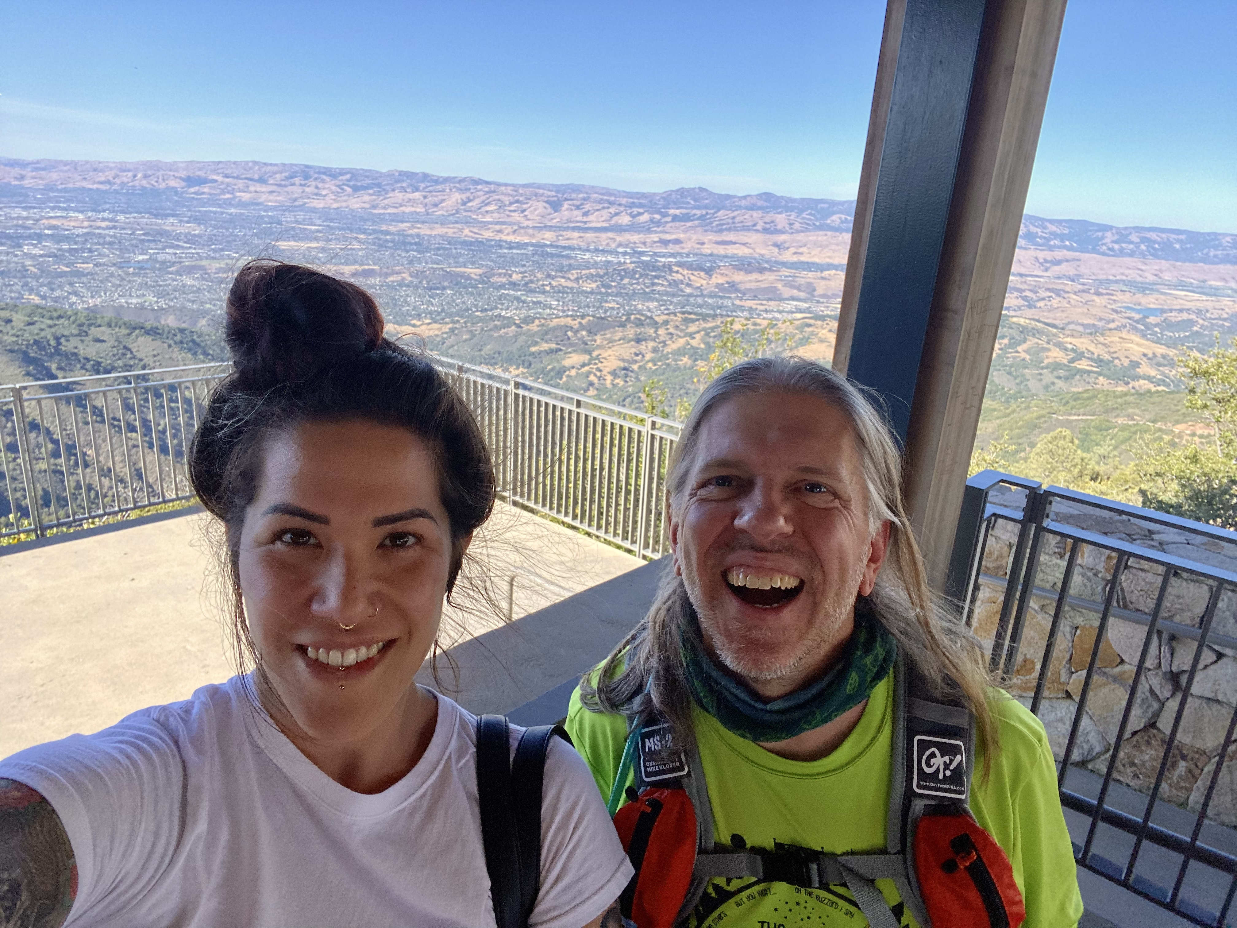
After Barlow Trail I turned onto Woods Trail and started seeing other hikers, as we were getting closer to the parking lot at the Hicks Road crossing. I started trying to calculate how long it would take me to make it to Hicks Road, as that's where Jane would be waiting for me. I texted back and forth with Jane and let her know I'd be arriving soon. I originally estimated it would take a about 100 minutes to reach that point, but I managed to beat that guess by a few minutes. Jane took video of me as I approached the parking lot: Approaching Hicks Road. I found out later that Jane found a nice French restaurant to snack at while she waited for me. Neat! I hadn't even realized that there were any sort of restaurants or stores this far up the mountain side. It was great to see Jane again partway through the run. And she documented the occasion with a couple of photos:
That was a fun first section. Now it was time to tackle the second section of mountain trails. Since I was still running well I had no doubt I could make it off the mountain while there was still daylight. Since I was running this as an "unsupported" FKT attempt, Jane didn't refill me with any food or water. Only emotional support! I said goodbye to Jane, and she headed home (as the rest of the potential crew meeting spots along this route weren't nearly as scenic and interesting as this one). Jane took another video of me as I crossed Hicks Road, before entering the next mountain trail section: Crossing Hicks Road. After Hicks Road the trails go both up and down as they traverse across another ridge. I saw a few bikers along the trail, and several other hikers. As I neared the end of the trails, the sun was setting... perfectly timed! I had made it off the mountain and into the suburbs of San Jose in just under three hours... still right on schedule. The remaining section was all flat pavement across the city. I felt myself gradually slowing down as I made my way north. There wasn't anything particularly wrong with me.. no real leg soreness, no major blisters, no rashes. It was just a matter of slowly losing energy. I ate a granola bar, but it didn't really help. It was a lack of serious training that was catching up with me. I hadn't run more than ten miles in a day since last summer, and so I really didn't have the endurance base to keep up a good speed for 32.5 miles. Well, nothing to do about it now, other than keep going. I plodded across the city streets, and didn't mind whenever I had to wait for car traffic as it gave me chances to rest. I stopped to empty some rocks out of my shoes during one long traffic stop. I ran the city streets at night without a light, as the streetlights were enough to light the way. Then once I turned off of Taylor Street onto the Guadalupe River Trail I put on my headlamp to see the trail. It was a good place to have a light, as a huge homeless camp had sprouted up all around that particular entrance to the trail... in the dark I could have accidentally run into the tents! I wasn't getting any faster, but at least I was getting closer to our house, which is conveniently situated just off Guadalupe River Trail. I called Jane and let her know I'd be arriving slower than originally predicted. Despite the late hour she came outside anyway to take a video of me shuffling slowly up the trail. On the Guadalupe River Trail by our house, nearing the finish line. Last year I did this same FKT course, but I did it in the opposite direction (that is, I started from the Bay and then climbed up to the top of the mountain). That was the only FKT option at the time. But since that time, the FKT site has added some official variants to this route, including a downhill version (which is what I did this time), and an double-length Out & Back version (which I may attempt someday, if I'm feeling super ambitious). Obviously the downhill version is easier than the uphill. But since I was in much better shape last year when I did the uphill, I was actually going slower than that on this downhill attempt. Fortunately for me nobody else had done the FKT course yet in this direction, so all I had to do was finish and I'd have the FKT (at least for now!). So I kept shuffling along the final short stretch of trail, into Alviso and ending at the gate by the boat launching dock at Alviso Marina County Park. I managed to "run" the entire way to the end... though it was a very slow run! I took a "selfie" at the finish to celebrate:
Then I limped my way out of the park (which was closed for the night), to the road. My kind and sympathetic wife had taken pity on me and driven the car over to pick me up, despite the fact that the finish line is less than two miles from the house and easily walkable. That is, it would have been easily walkable if it was still easy for me to walk at the time... which it was not. Thanks, Jane, for staying up late, and being my shuttle driver and photographer and videographer and emotional support crew for this event! Despite my slowness, this is a really fun FKT. It's a nice mix of scenic mountain trails and then fast city roads. And it's neat to connect the high point of the mountain to sea level. I look forward to seeing some better prepared runners do this course an hour faster (or more!).
|