Bay to Mt Umunhum
August 8, 202032.5 miles
6 hours, 49 minutes, 29 seconds
San Jose, California
Overview:This "Fastest Known Time" route starts at the southeastern tip of the Bay in Alviso, crosses through San Jose, and then proceeds to climb to the top of Mount Umunhum.I ran the event unsupported, carrying everything I needed in my 100oz backpack, and did not resupply during the run. Links:
Race Report (with pictures)My sister Marcy Beard designed this FKT route. She also was the first person to successfully run it. It looked like a pretty fun course, so I decided to give it a try.This would be the first FKT I'd done that had a signficant uphill. While the first half of the course is flat and fast, traversing across San Jose on pavement, the last half is on trails and mostly uphill as it climbs from the base to the top of Mount Umunhum. I started super early in the morning, when the temperatures were cooler and there was less car traffic to dodge in the city. I'm not if sure Jane fully appreciated this logic, but she woke up early anyway to drive me to the start in Alviso. Thanks, Jane!
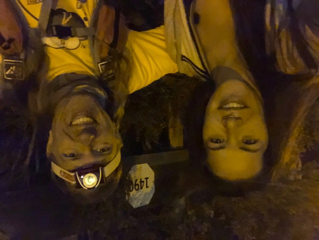
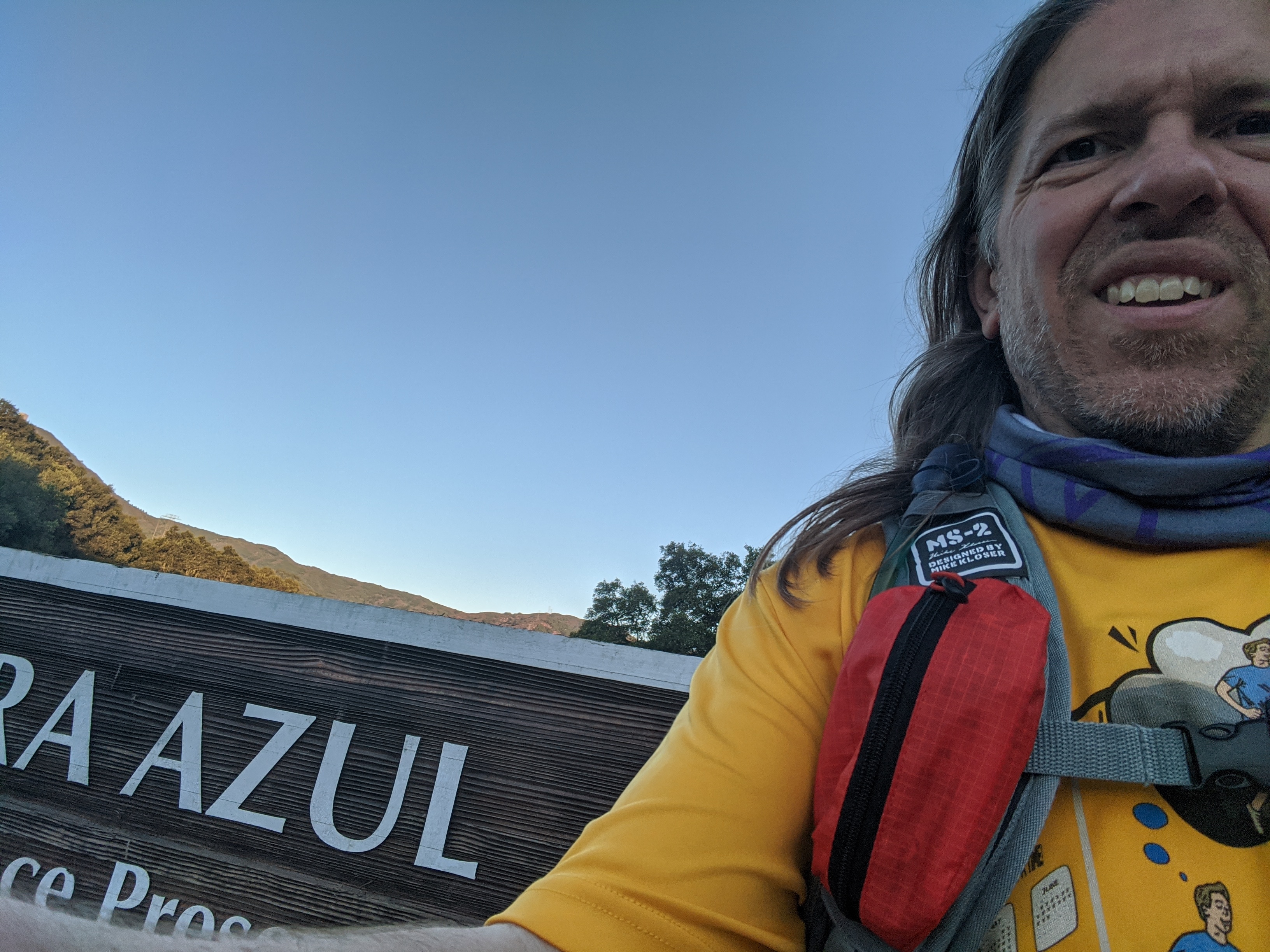
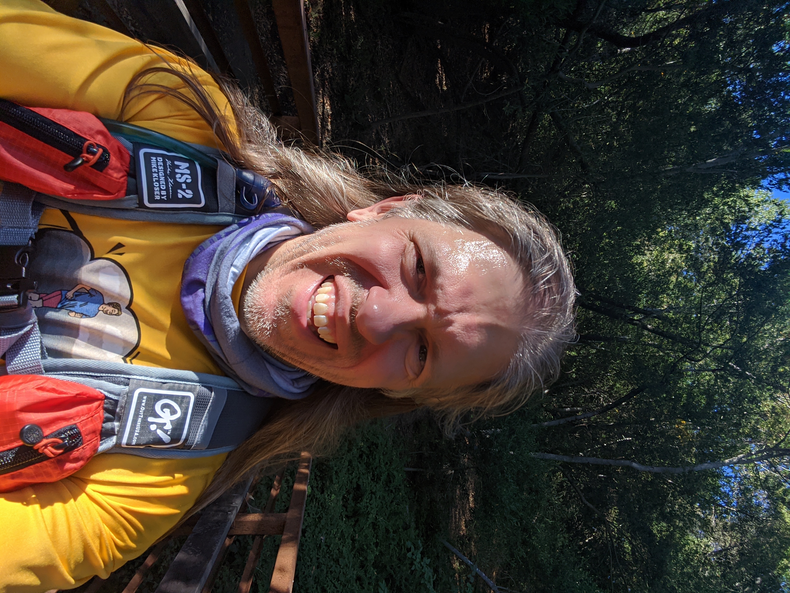
The Alviso Marina County Park is closed at night, so I entered the trail system on Hope Street. From there it was a short walk up to the trailhead gate at the park boundary. I briefly stopped and posed there for the obligatory starting line selfie photo.
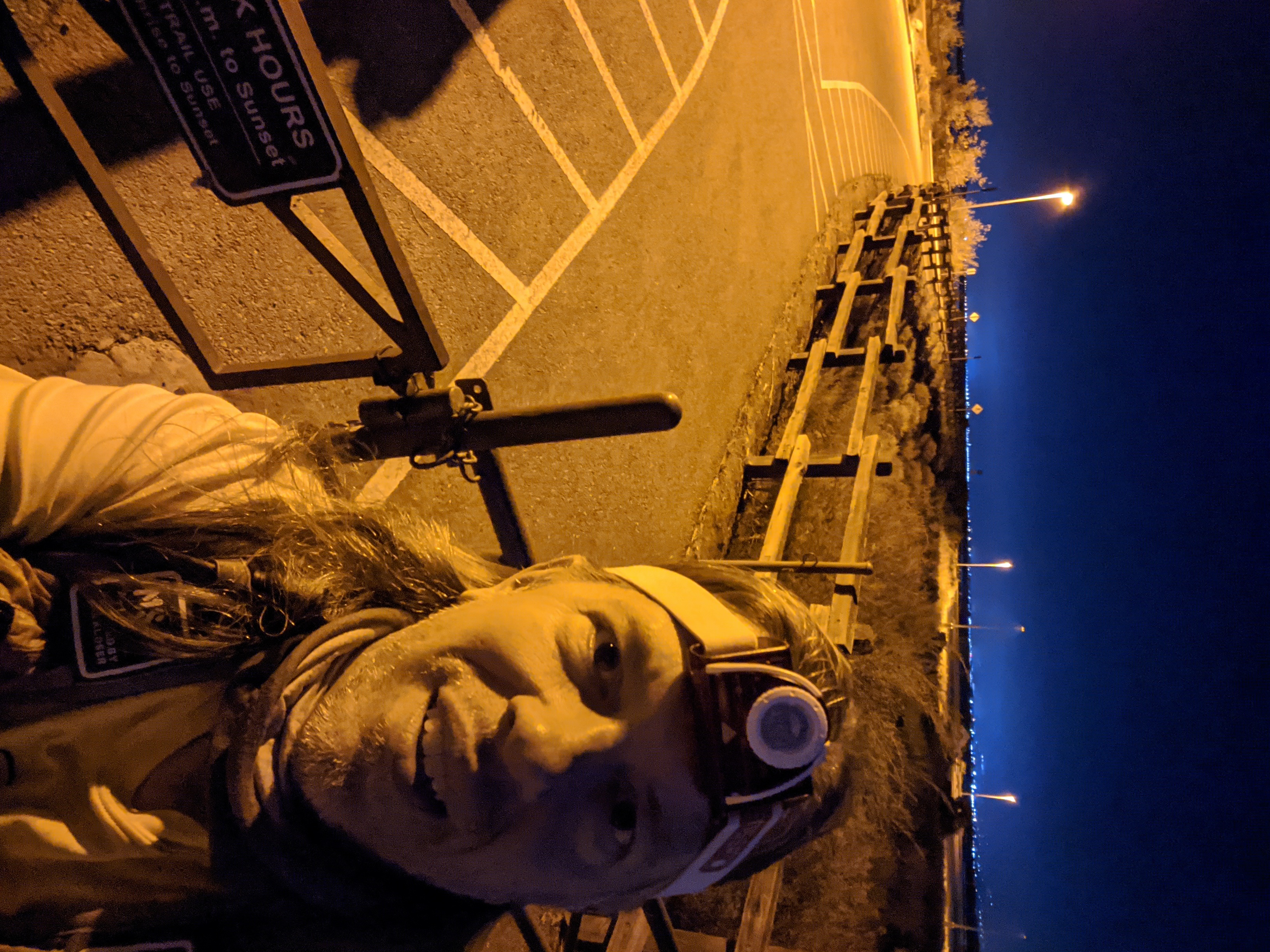
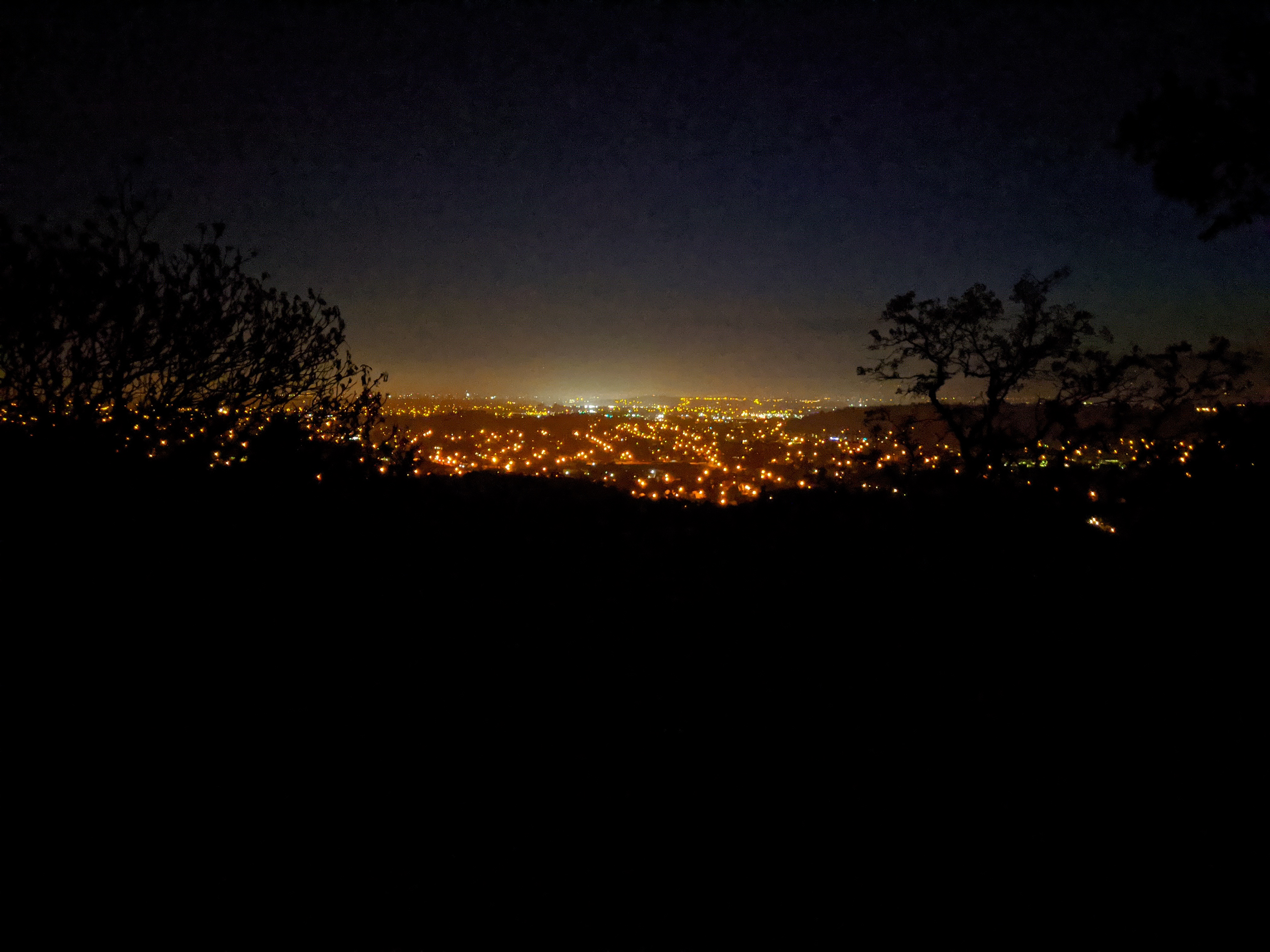
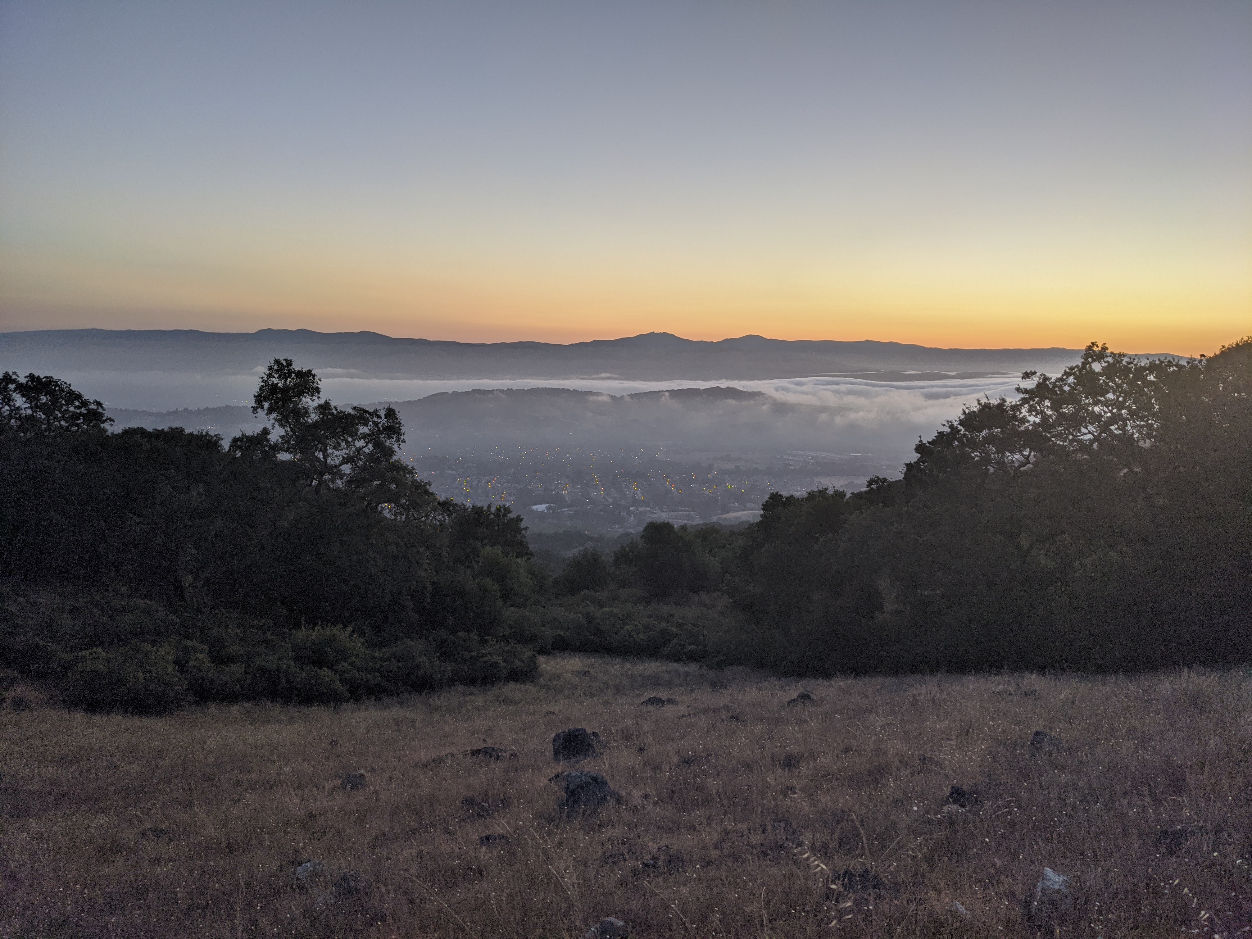
And then, I was off! The trail starts off with a short section of dirt and rocks, but then it becomes a smooth paved bike path after crossing Gold Street. Even though it was the middle of the night there was another random pedestrian and a biker on the trails in the Alviso section. Didn't expect there to be so much trail traffic in the middle of the night. Since the course then proceeds to go right by my house, Jane was able to quickly drive home and get ahead of me, in order to take a short video of me running by. 2:09am, running on the Guadalupe River Trail past my house. The bike path along the Guadalupe River is smooth, flat, and fast. At the airport the trail switches from the east side of the river to the west side. And shortly after the airport the route leaves the bike paths for city streets. Apart from those two folks near the start in Alviso, I didn't see anyone else on the Guadalupe River Trail that night. There was some minor nav to stay on the correct city streets to get over to Meridian Avenue. And then the route follows Meridian Avenue south for a long ways. I wrote down a list of the major road intersections along the way, so I'd have something to mentally "check off" my progress as I made my way across San Jose. I finally made it out to the edge of the city and the trailhead that marked the character change of the route. No more city streets anymore... it was now time for hilly trails. I'd managed to run almost continuously from the start to the trailhead, in three hours. I was actually looking forward to going uphill on the trails, as that was an excuse to walk for a change, instead of run. My original plan had been to reach the start of the trail around first light, but in actuality it wound up being still dark for my first hour on the trails. No matter, the trails were nice and wide, and easy to see with my headlamp. Plus the nearly full moon was still out. And climing in the dark gave me some fun views of the city once I'd started climbing higher.
At first the city lights were all super clear to view. But then once the sun started rising some morning fog rolled in, which made things look even more interesting.
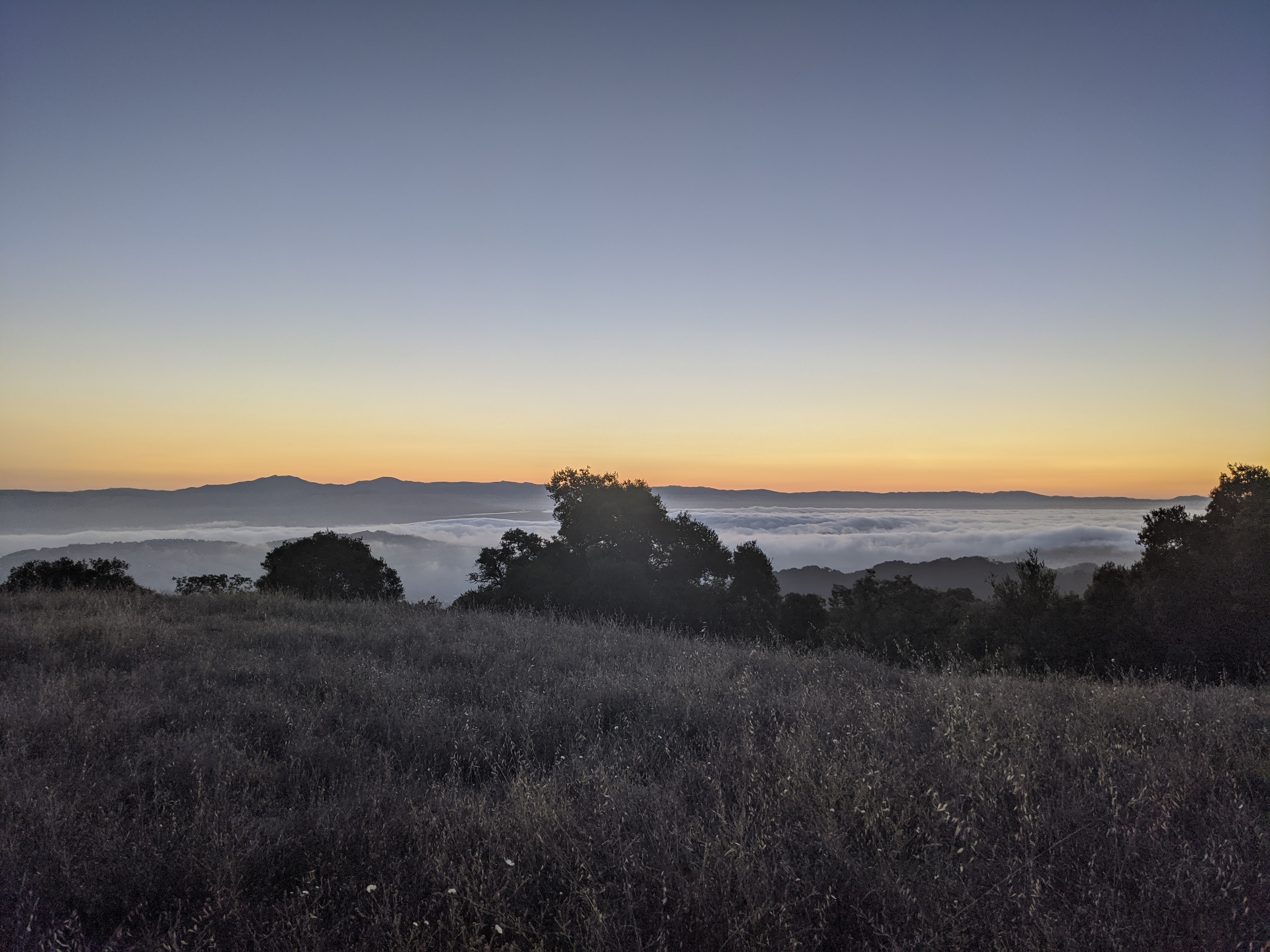
And then a little bit later the fog started breaking, and you could still see some city lights. I guess it looked pretty cool to me at the time, as I stopped to take yet another picture of it all.
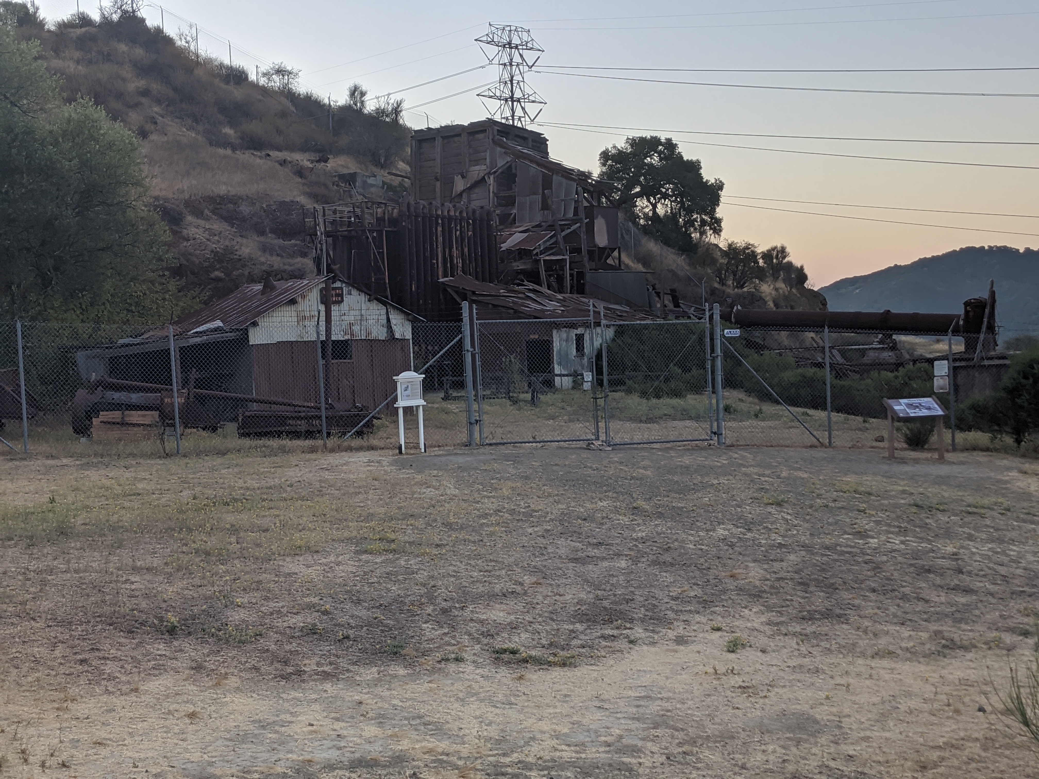
Finally there was enough sunlight for me to put away my headlamp. More trails, more uphills, with some occasion flats and downhills that I could jog. At every intersection I'd check the map on my phone to make sure I was going the correct way. I was glad my phone was able to show the map even when I lost cell signal coverage. After traversing along the first ridge, the trail takes a sharp turn downhill and starts making its way over the valley to get onto the actual mountain. Right after that turn there's some old abandoned structures.
After crossing the valley the trails start going up the mountain for real. The route briefly crosses Hicks Road, and hits the Woods Trail trailhead. This trailhead is more popular than the one I'd started on, and it's where most people typically start when climbing up Mount Umunhum. I hadn't seen anyone at all on the first section of trails (perhaps because I'd started climbing while it was still dark), but now there were suddenly lots of other people around.
Now at least I had lots of company as I hiked up the trails. Many other hikers. And one other runner/speed hiker, who was faster than me. But fortunately for me, he wasn't doing this FKT route today. The going was still pleasant. I was content to walk most of the uphills, but I tried to at least keep walking quickly. Marcy's FKT report mentioned that Barlow Road was a bit rough. I actually didn't mind it very much. It was steeper than the rest of the trails, but since I wasn't trying to run the uphills anyway the steepness didn't bother me. Barlow Road ends at Mt Umunhum Trail, for the final stretch to the top.
The final stretch of trail to the top has a surprisingly gentle uphill grade, with long switchbacks to make the climbing easier. So it's entirely runnable if you've got the energy. However, at this point in the journey, I was sure I was going to be able to finish in under seven hours. And since that was my only real goal for the day, my motivation to go any faster was a bit lacking. So I just decided to enjoy the last couple of miles to the top, and mostly walked the rest of the way.
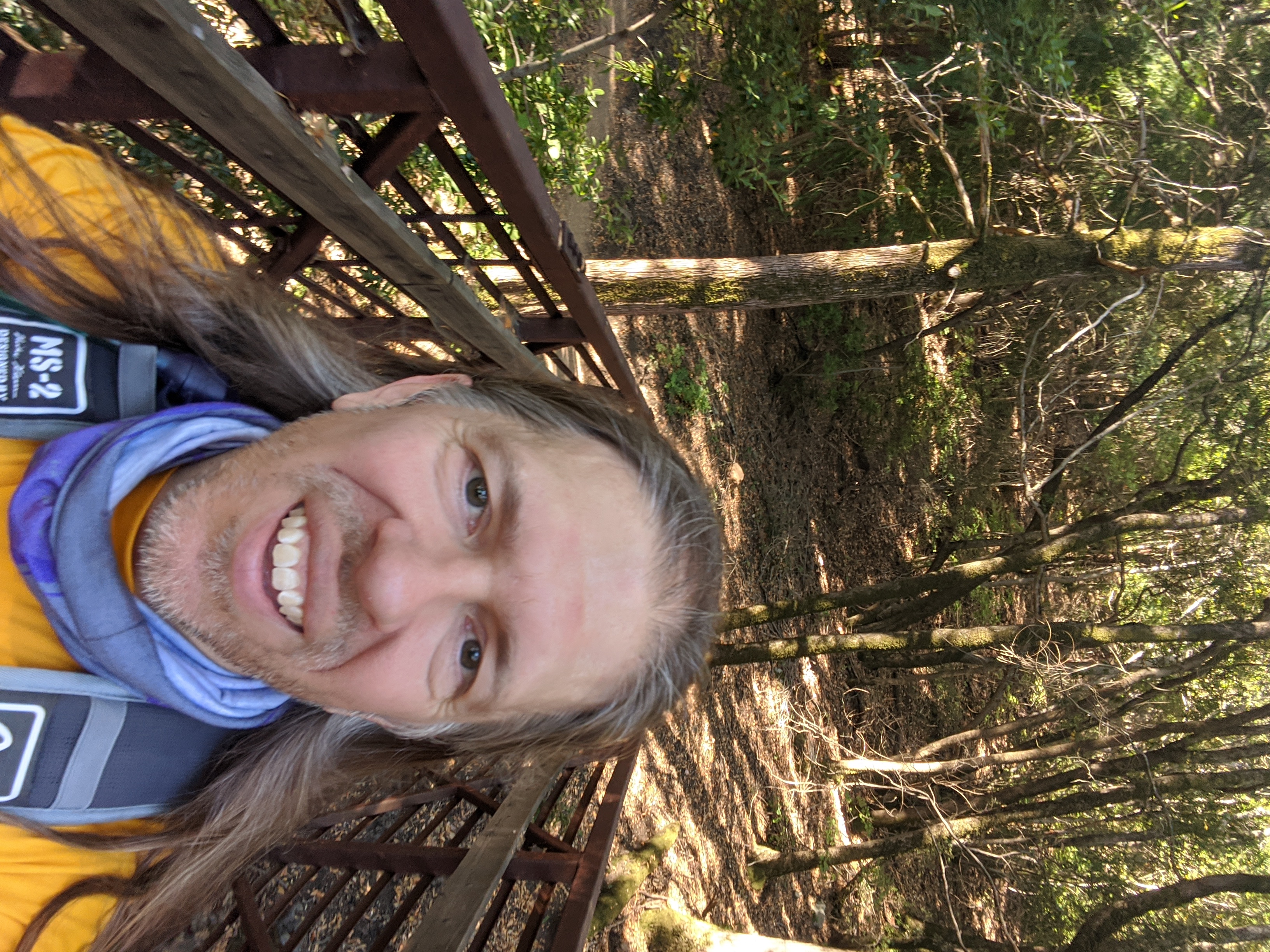
That gave me time to take more pictures. I took a picture at one of the bridges along the trail, for when the trail went over a creek. I had sun in my eyes for that one, and the bridge didn't really stand out in the photo, so I decided to take another one at the next bridge I went over.
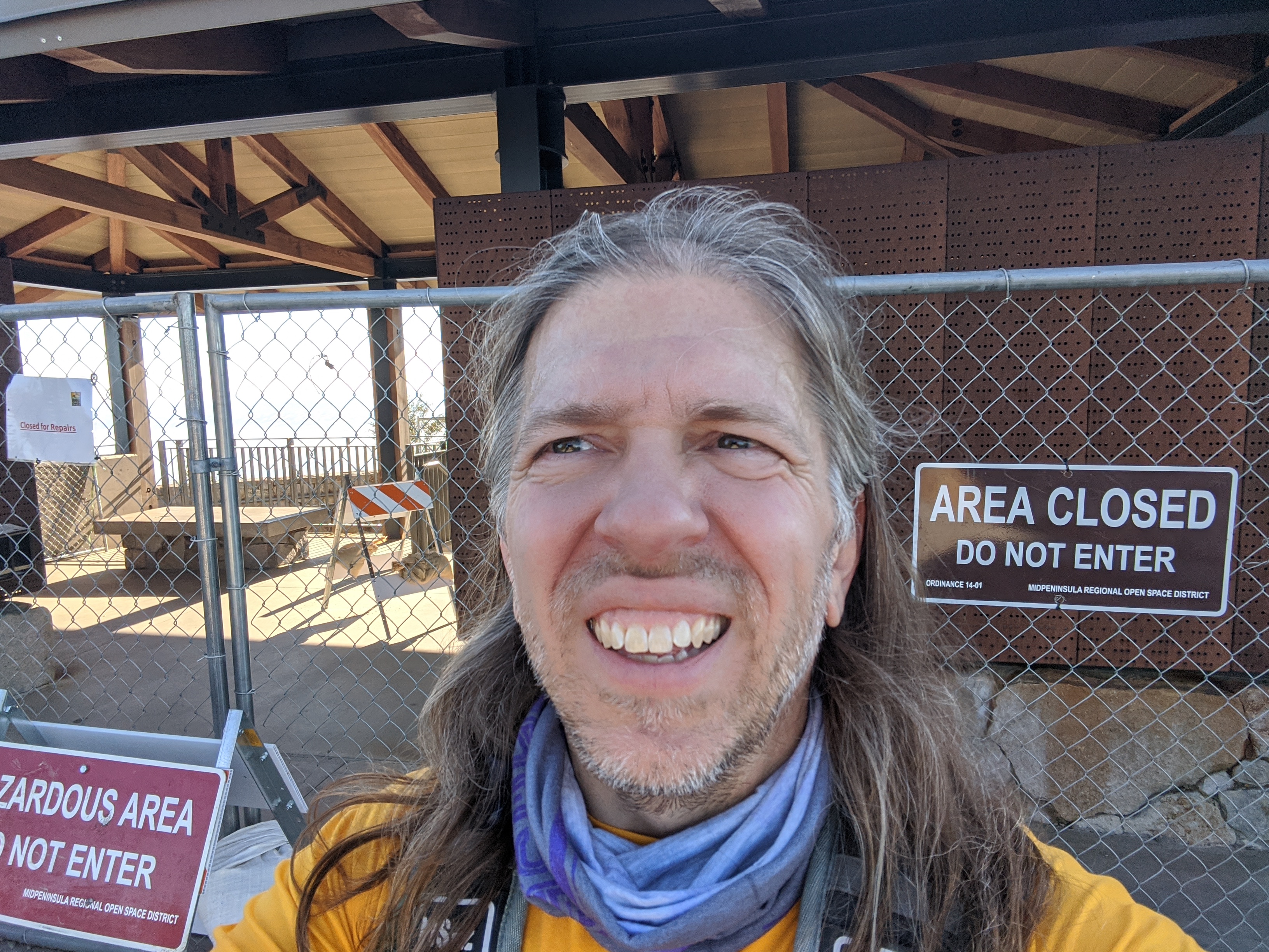
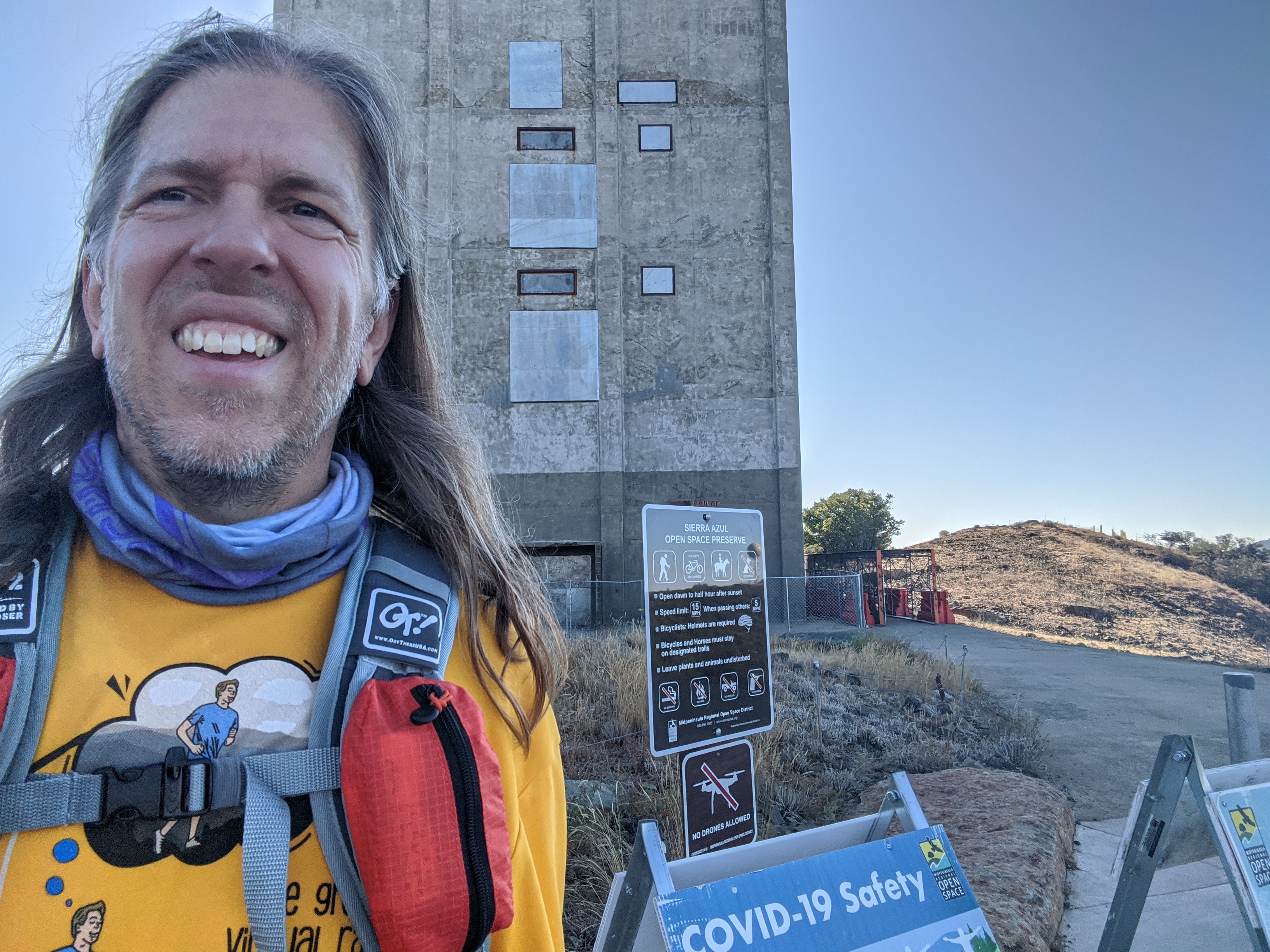
There, that picture was a bit better. At some point on this section I ran out of water. I'd started the run with 100oz, and drank it all. At least I was close enough to the finish that it didn't matter. And now I had less weight to carry on my back. Eventually the trail exited the woods just under the top of the mountain. There's a decision point near the end where you can take the trail/road either way to get to the top. Marcy had taken the right path on her run. I decided to take the left path, since that more closely follows the official FKT route. A short walk up the steep road brought me to the top. Unfortunately the covered Information Hut at the top was closed. Funny, it had been open just two weeks earlier! But this marked the official finish, so I stopped my clock.
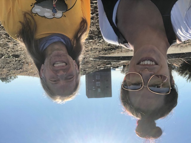
At the top of the mountain there are fabulous views in all directions. And of course, there's the notable mysterious cube building that can be seen for miles around. I'm pretty sure it was built by aliens, and it's all closed off because the government doesn't want us to know. Well, the Information Hut probably explained what it was actually built for, but since I couldn't get in to read any of that, I'm going to stick with "aliens".
Jane arrived in the car, and she'd been thoughtful enough to bring some more water, which was much appreciated. We explored the top of the mountain and enjoyed the views together. Jane declared that the mountain should be called Mount OmNomNom.
All in all, it was a super fun FKT route. Nice and fast for the first half, and then a satisfying climb for the second half. Plenty of good views and fun trails.
|